One of the things I had really wanted to do this summer was to ride through the Stewart Tunnel on the Badger State Trail. Early on we had planned a camping trip to nearby Yellowstone Lake State Park, thinking that on one day we'd make the short drive over to New Glarus and do the tunnel. But then that camping trip fell through and I was thinking I may not get to go through the tunnel after all. But then an opportunity opened up and it was back on. Happy Day!
In Wisconsin there are a number of abandon railroad tracks that have been converted to recreational trails. You can walk, run, or ride bikes on these trails but no motorized vehicles. Not cars, trucks, motorcycles, ATVs or anything else with a motor. Horses are not even allowed on most of them, either. Because these trails run on old train tracks, with the tracks removed and a regular trail surface installed and maintained, they have some nice features, too. I've ridden on a few of them now and found that where they pass through hills and valleys they have leveled out the track by cutting into hills and raising up the valleys so they are, as a general rule, pretty level. For my kind of biking that's pretty nice. The trail surface tends to be hard packed dirt, chipped gravel, or limestone,or some combination of those, with occasional sections paved for short distances. But for the most part they are not paved. Some walking trails will be surfaced with wood chips or some other, soft material but these state trails usually aren't that, which is a good thing. That makes for slower going. And if it rains they become almost impassable for a day or two until they dry out.
Anyway, on the Badger State Trail there is the Stewart Tunnel, a few miles south of Belleville, WI. It was completed in 1887 and is a quarter mile long, 21 feet high and 14 feet wide. And its curved out in the middle so you can't see one end from the other. At the time was built it was a bit of a marvel. They began from each end and met out in the middle in almost a perfect match. One end was off an inch and the other about 3/4 an inch, near perfection.
I did some studying on Goggle Maps to plan a route that would take me through the tunnel. I ended up mapping out a triangle. Because the Badger State Trail intersects the Sugar River State Trail near Monticello, WI I could do both trails. So the plan was to start in New Glarus and go to the Badger State trail just above the tunnel. Then I'd go down the Badger State Trial, through the tunnel and hit the Sugar River Trail, and then go up back to New Glarus. That would put two sides of the triangle on state trails and one side on surface streets to get from New Glarus to the Badger State Trial just above the tunnel.
So I mapped it out and Goggle Maps said the elevation changes looked like this.
That spike was toward the end of the surface street section. And it said the elevation gain from low point to high point was only 233 feet. How bad can that be? I ride around here and have gains of 70-100 feet all the time. 233 isn't that much more right? And the whole triangle would only be 15 or 16 miles long. Not bad at all, right?

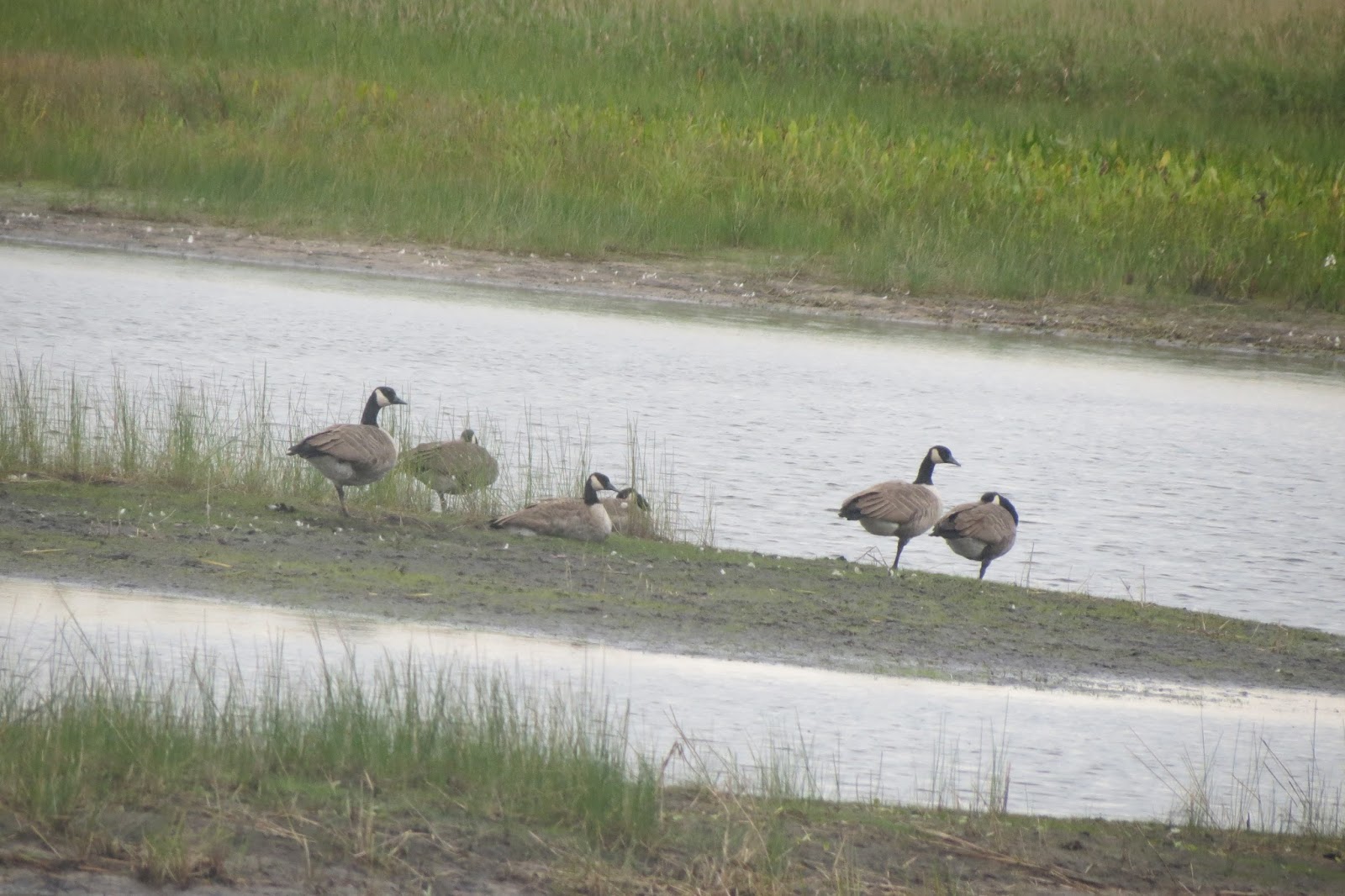
So as the appointed day began to get close I started watching the weather, hoping it wouldn't rain. I was in luck; on the day of the ride the weather was near perfect. So I did a few things at the house before lunch and set out for New Glarus. I got to the trail-head and noticed the parking lot was pretty full. Nice day, lots of people on the trail. Makes sense. I have an annual trial pass so I can ride any state trail I want without having to put anything in the day box. I'm not sure anyone ever stops people on the trail to check for passes anyway. I've never seen anyone out doing that. Anyway, I pulled my bike out of the car, put all my gear on, hopped on my bike, and took off down the trail.

It started out real nice, the trail slopped gently downward, away from New Glarus. In studying it out on the map ahead of time I had seen that I could save myself a lot of hills if I just went down the trail a mile or so before turning off onto the street. So that's what I did. Then at first, the streets weren't too bad but that didn't last long. I expected the hills to start in the fourth or fifth mile and they did with a vengeance. I learned pretty quick that 233 feet of gain is pretty serious. And, if you'll notice on the graph, it wasn't just one hill and done. I ended up walking up three hills, some of them pretty long. I figured the speed for this first third of the trip was going to be really bad. Ah, well. You do what you have to do. So I kept at it until I finally hit the Badger State Trail and from that point on it was pretty level. I was really, really glad to be done with those hills.

It was almost a surprise how quickly I got to the tunnel. It didn't look like what I was expecting. All the pictures I had seen were of the south entrance and I was coming at it from the north. So suddenly I realized that what I had at first thought was some real dense overhanging trees was actually the entrance to the tunnel.
I had bought a 300 lumens light for this tunnel. I had heard how utterly dark it can be in these tunnels and this was the longest one in the state. I had a little 35 lumen light but I already knew from all the evenings I had ridden around home as the sun set that it wasn't going to do much against the darkness of one of these tunnels. So I stopped, took the picture, turned on my light, and also turned on my movie camera to film my ride through the tunnel. Then I started through.

Alas, everything worked perfectly except the camera. My movie didn't turn out. I guess I still need to work on figuring out how to turn it on and off. I had even taken it on a ride the day before and played with it in the morning, trying to be ready for this ride. But I can't see the view finder very well while on the bike so I couldn't tell if it was working at the time. Besides, the floor of the tunnel was not as smooth and even a surface as the rest of the trail, plus there were puddles of water that had dripped from the ceiling and I was too busy focusing on the path immediately in front of me to notice whether or not the camera was working. But my light worked! And I was very glad I had the stronger light - even with 300 lumens it was still pretty dim going through all that darkness. But the 1,200 feet went pretty quick and pretty soon there was light at the end of the tunnel and then I was out. Just a little down the trail from the tunnel was a koisk and bench with information about the trail.

So I continued on down the trail. I stuff I had read about the Badger State Trail said there were quite a few little bridges along the way. I came to the first pretty quick after the tunnel. The bridges are numbered but the counting began from the south end of the trail so this first bridge I came to was bridge 23. Most of the bridges were over marshy wetland areas.
The area along this part of the Badger State Trail was wooded, pretty heavy in some area, more open in others. Some agriculture going on in the area, but not always.
I knew there was a bridge just before the intersection with the Sugar River Trail but I didn't know which bridge, or how many I'd have to cross before I got there.
But pretty soon I came to the Sugar River so I knew I was getting close.
Then, something unexpected. A trestle. I hadn't seen that on the map. As I went under it I tried to figure out what kind of bridge it was. It was to big to be a foot path, too small to be a train track, but it didn't really look like much of a road either. After I got back I went back to the map to see and found there was a road called Pratt Road that at one time came in from the west, through a bunch of trees and went on to intersect with Marshall Bluff Road. But on the map its no longer shown as a through street. Must have been a train crossing at one time. Apparently its no longer maintained.
Anyway, just after the old Pratt Road crossing I came to the intersection I'd been watching for. And it wasn't much of an intersection, either. More like just a clearing between the two trails, which were only about 20 yards apart at that point. But not much of a trial surface. As it is, the two trails don't actually intersect until quite a ways on down, almost a mile farther than I wanted to go. It would have added almost two miles to go that far and back so I cut through the clearing to the Sugar River State Trail and headed north, back toward New Glarus. And, sure enough, went under the old Pratt Road trestle again.
The Sugar River trail also has a number of bridges but the area is more open and more developed into agriculture. And it cuts through the Edleweiss Chalet Country Club so for a little while it felt like I was riding through a golf course. I could see golfers out on either side of the trail as I went by. Interesting.
The nice thing about the Sugar River tail was that being more open there were fewer bugs. Back in all the trees every time I'd stop the mosquitoes would would come out of everywhere and I'd want to get moving again.
All in all, both trails were very pretty, it was quite a scenic ride.
Finally I was getting back to the part of the Sugar River trail I had begun on. All in all, I think I crossed twelve of these little bridges on the whole trip. What I thought was interesting was that down the center of every single bridge the wood was very worn. So much so that it looked like the wood had eroded down away from the screws holding the boards to the bridge. But only down the center of the bridge. Made me wonder how that came to be.

In the end, even in spite of having walked up those hills on the first part of the trip, my average speed was still nine miles an hour. I was pretty surprised. I think, because of the work I had done at home in the morning, all the hills I ran into on the first third of the trip, and the long, gradual rise of the trail that last third of the trip, this turned out to be one of the hardest rides I've done since I started riding my bike a couple of years ago. It reminded me very much of the 24 mile ride I took last year, even though this ride ended up being only 15.4 miles lone. I knew there was an ice cream place there at the trail head and the thought of a nice bowl of ice cream was my motivation to finish the ride. That, plus I had no other choice. I couldn't very well just quit out there on the trail. So when I got back to my car I stuck my bike and stuff in and walked across the parking lot and enjoyed a nice dish of ice cream.

Then, because I had seen that scattered around New Glarus were some fifteen statues of cows, I went looking for as many as I could find. I drove this part. And I only found nine of them. Oh, well.
So, all in all, it was a successful trip, except for maybe the part where my camera failed to get the trip through the tunnel. But it was a good trip, a good ride, and a good day. And I was able to cross the Stewart Tunnel off my list of places to go. Now I'll have to pick another place!